GIScience @Western
The Department of Geography & Environment at Western University offers an Honours and Major (BA or BSc) in Geographical Information Science, and a newly developed Certificate in Geographical Information Science. We offer a variety of courses related to GIS and remote sensing.
We are an ESRI Canada Center of Excellence.
Courses Taught by Dr Long:
GEOG3222: Geographical Information Science I
(Offered AY2024/25, FALL)
An introduction to fundamentals and principles of Geographic Information Science, emphasizing both applied and theoretical aspects of digital mapping, spatial data handling, and spatial analysis using both vector and raster data. Practical skills are developed through the use of Geographic Information Systems.
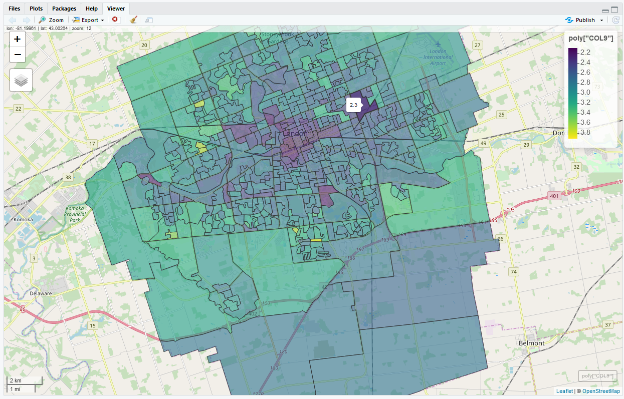
GEOG3210: Geocomputation
(Offered AY2024/25, FALL)
An introduction to multivariate statistics and data analysis using computational methods; reproducibility in data analysis, data presentation, exploratory data analysis, and data mining for Geography.
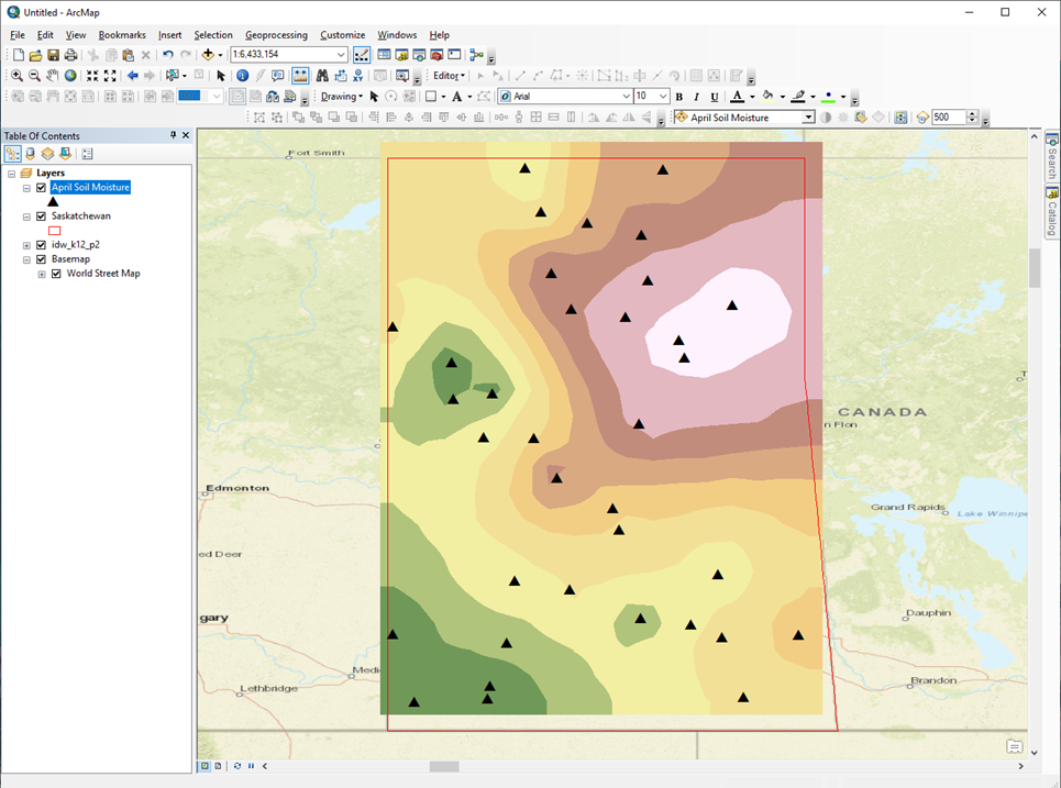
GEOG3222: Geographical Information Science II
(Offered AY2024/25, WINTER)
Methods and techniques in Geographic Information Science. Spatial data encoding from maps and geographic database implementation. Spatial interpolation and other modeling techniques. Integration of remote sensing, GIS and Visualization. Hands-on experience using ESRI, ArcGIS software.
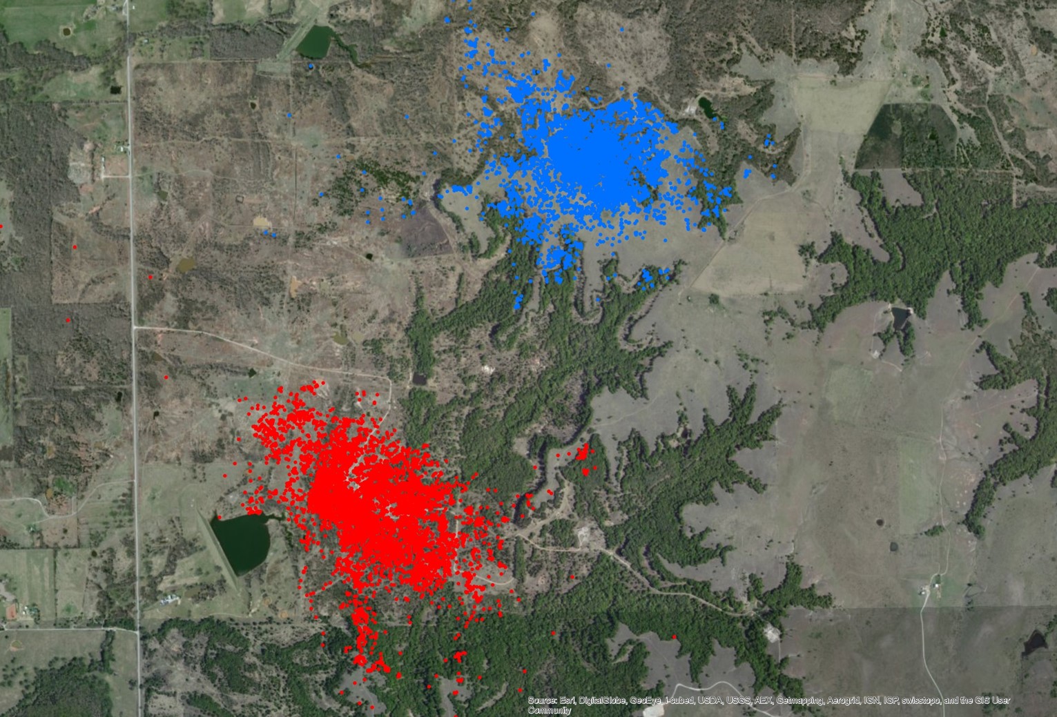
GEOG3224: Spatial Ecology & GIS
(Not Being Offered AY2024/25)
GIS methods for analyzing environmental and ecological data. Emphasis is placed on quantifying and interpreting spatial patterns in data collected on plants and wildlife. The course will exploreissues associated with scale, networks, disturbance, and feedback. Topics covered include habitat fragmentation, protected areas, wildlife tracking, home ranges, and species distributions.
GEOG9110: Introduction to Geographical Information Science
(Offered AY2024/25, WINTER)
Introduction to fundamental concepts, techniques and applications of Geographic Information Systems (GIS). This is an entry-level course for students who wish to apply GIS to their own research. Students gain hands-on experience using the ArcGIS software and develop problem-solving skills.
GEOG9113: Geographical Data & Analysis
(Offered AY2024/25, FALL)
This course will expose students to modern techniques for processing and analyzing geospatial data using computational and statistical methods. We will explore ideas related to 'big data;, 'machine learning', 'data mining', and 'data science'. Students will develop skills in computer programming, data handling, statistics, and geographical data analysis.