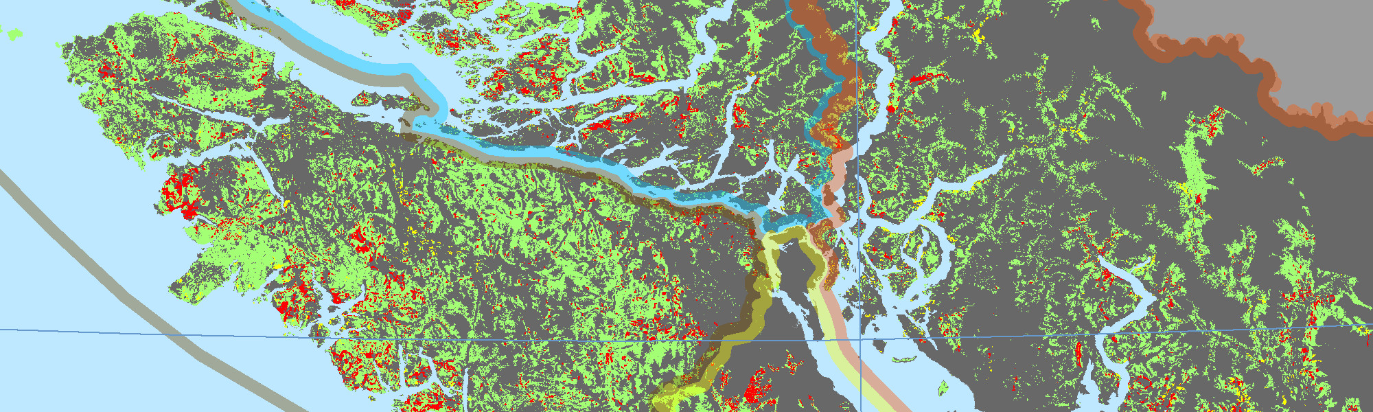
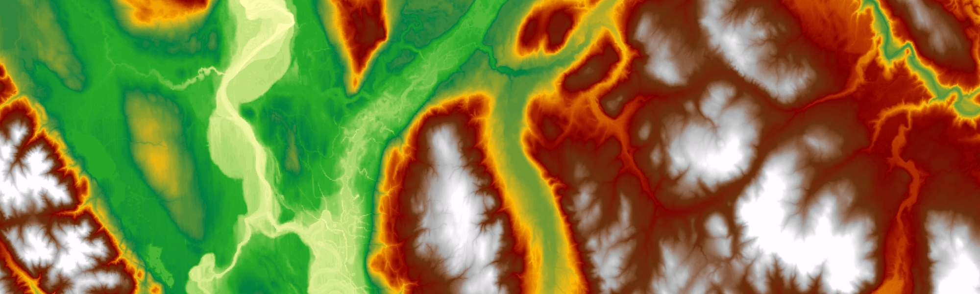
Our research uses geographic information systems (GIS) and spatial analysis techniques to study movement (often using GPS tracking). We develop and apply innovative methods for spatial and space-time analysis. Our interdisciplinary work includes wildlife and spatial ecology, human mobility, and remote sensing applications.
News
*NEW PAPER* Activity graphs for analysing WorkAndHome data!
Geospatial Lab team part of huge Western Geography contingent at ESRI conference!
Geospatial Lab team win three (!) student presentation awards at SKI Conference!
*NEW PAPER* by Ben on modelling accessibility changes associated with public transit!
*NEW PAPER* by Aranya on the MagGeo project, data accuracy and testing!